Daceyville is an unassuming suburb in south-east Sydney. I’d imagine many Sydneysiders don’t even know it exists. Yet I’ve had my eye on it for months as the perfect place to kick-off the No Map Completion project, wherein one attempts to run every street of a suburb without recourse to a map along the way.
Daceyville is uniquely well suited to this project for reasons I’ll get into shortly, but the historical significance of the suburb alone makes it worth visiting. This is Australia’s first master-planned public housing community, dating back to the 1910s when John Rowland Dacey decided low income workers needed better accomodations than the rat-infested inner-city hovels of The Rocks and surrounds.
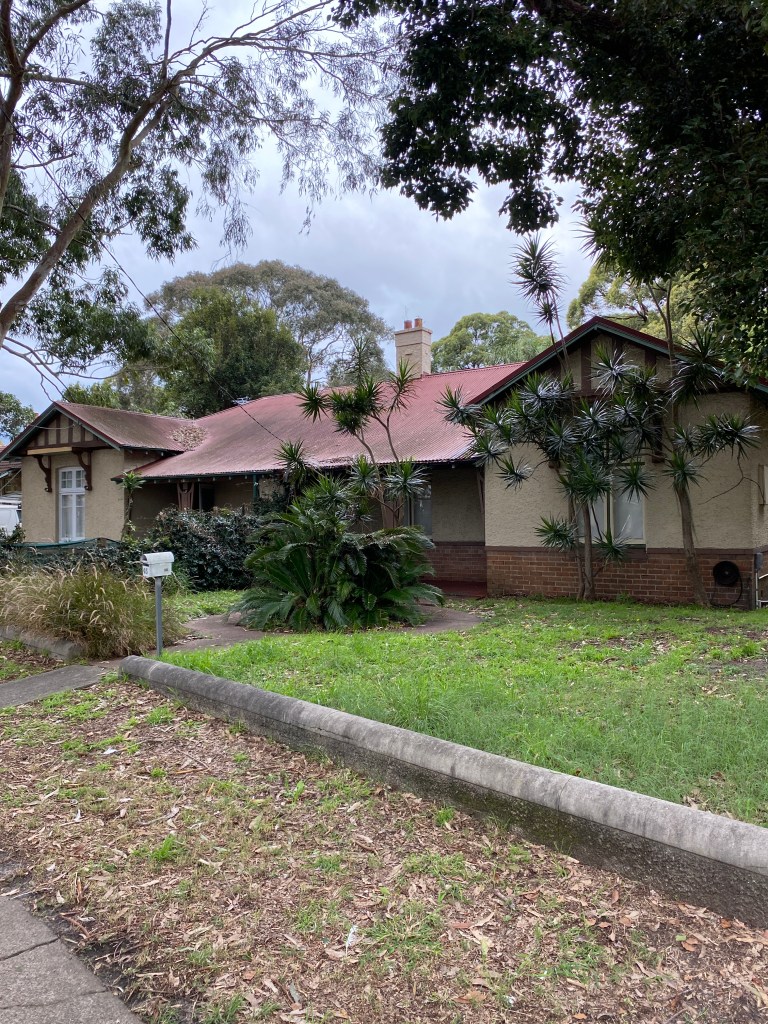
Public housing in 1910 looks very different to public housing in 2024. Daceyville has relatively few of the red-brick apartment blocks that dominate other public housing areas in neighbouring suburbs such as Maroubra and Eastlakes. Instead it’s full of legitimately charming, free-standing federation homes – all of which are now heritage listed thanks to the efforts of the Daceyville Preservation Society.
Suitability for no map completion
On the map, Daceyville’s layout has always stood out to me as being highly structured and clearly demarcated. Its streets fan out from the intersection of Gardeners Road, Anzac Parade, and Bunnerong Road in a way that makes me think of a spider’s web. It’s a small suburb, neatly organised around centralised green spaces with an extensive stretch of parkland at its southern end. Theoretically, I reasoned, that should make it easy enough to tick off every street just by moving through systematically.
What’s more, Daceyville has a unique character owing to its history as a social housing community. It feels so distinct from the new high-rises and commercial strip of neighbouring Kingsford, and it exists in a completely different moment in time to the 80s – 90s suburbia of Pagewood. Since an important part of an NMC project is the ability to intuitively sense when one is within the bounds of an area based on environmental and affective cues, these distinctions were exactly what I was looking for.
Caveats
Even the smallest suburbs come with geographic complications that can affect a project like this. In some parts of Daceyville, three rows of houses are squeezed into single blocks and joined by an inner network of laneways and parking areas. It’s an oddity owing to mild densification of the area in the 1980s, which saw many of Daceyville’s inner green spaces repurposed for two storey apartment buildings in a sort of mock-federation style.
I’m sure some people would maintain that proper completion necessitates running all of inner roadways and lanes as well, but I wasn’t keen on invading resident-only areas – especially when the project would require a fair amount of running back and forth, camera phone in hand. For this reason I set out to run on named roads only, leaving inner Daceyville tantalisingly unexplored.
The attempt
Attempt no. 1 departed from Westfield Eastgardens. From here it’s a simple clip up Banks Road alongside the Bonnie Doon golf course to Daceyville.
While this part of the route isn’t technically part of the project, I can’t help but take a moment to gripe about golf courses such as this one. It irritates me that access to a heritage listed water reserve such as Botany Dams and its surrounding wetland is monopolised by not one but two golf clubs whose courses are only accessible by people with money and/or a membership. I appreciate that the golf courses have a history all their own and may well be the reason why this area isn’t full of high rise development, but I also think there must be some other, more equitable way of utilising such an environmentally rich area. I could go on, and perhaps I will in a separate piece.
Anyway, my attempt proper begins by tracing the eastern border of Daceyville along Bunnerong Road. At least, it’s the eastern border according to memory. Map stays in the pocket.
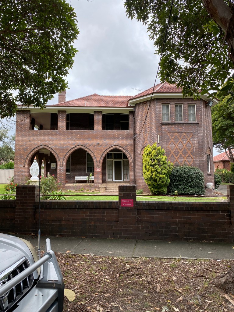
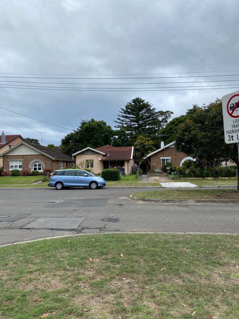
But the border is clearly defined architecturally, so I’m confident. The contrast between the Queen Anne cottages of Daceyville and yet another Meriton monstrosity on the opposite side of the road make it easy to chart the outskirts of this tiny suburb.
A few buildings stand out as notably more public housingish; terraced additions from the 80s and the admittedly uglier Endeavour Apartments.
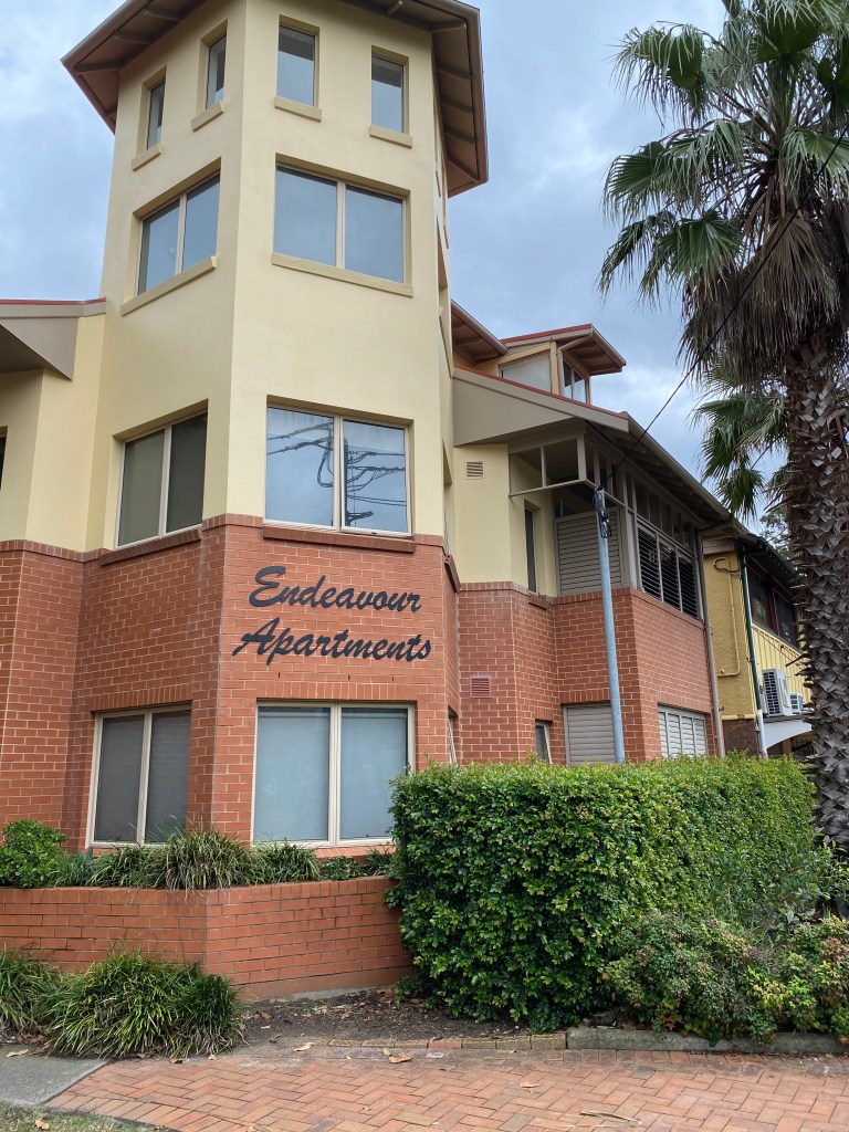
Yet I admire the way even these more familiar and no doubt more ‘efficient’ forms of public housing contain a nod to Daceyville’s original look and feel. Latticed balconies and shady porticos abound.

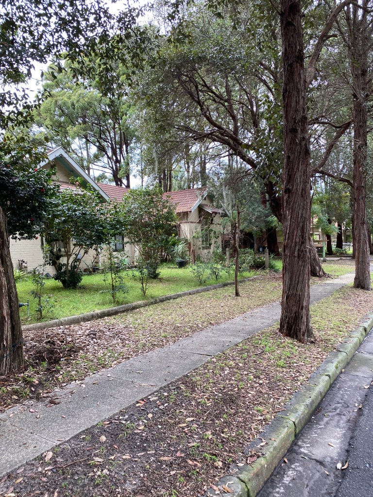
Then it’s down Cook Avenue and into the heart of Daceyville. It’s almost completely void of traffic – pedestrians and cars alike – and blissfully cloaked in shade.
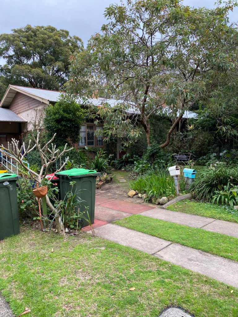
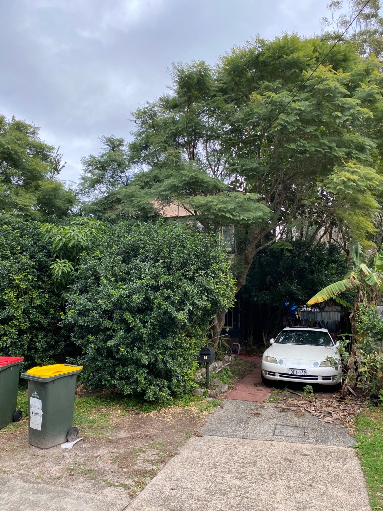
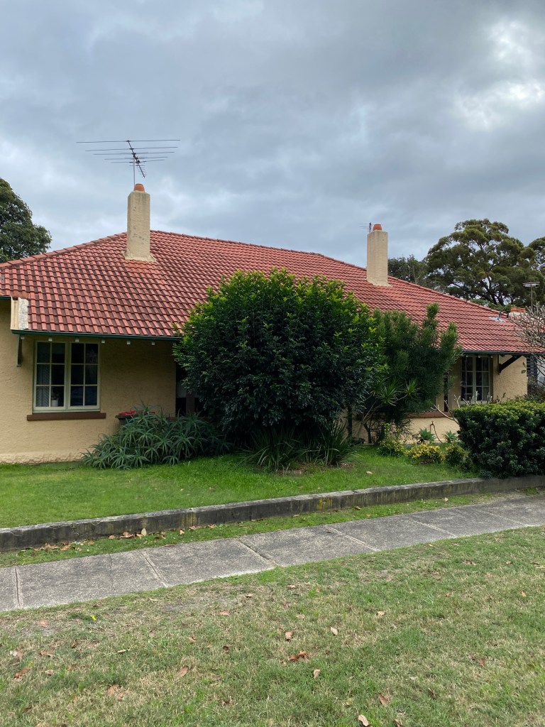
Daceyville’s conception, I’ve learned, owed much to the ‘garden city’ movement that was taking off in the UK during the early 20th century. As a result, it’s as green a suburb as you could ever hope to find. Even the median strips are planted with large trees, giving the streets a canopied feel, and each house has an enormous and often jungle-like front yard.
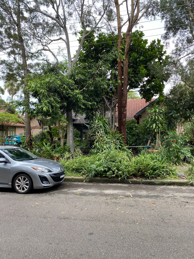
Some of these are meticulously crammed full of hanging pots and ceramic gnomes in a manner that suggests elderly long-time residents, while others have been left to grow wild, climbing high enough to completely obscure the houses themselves from view.
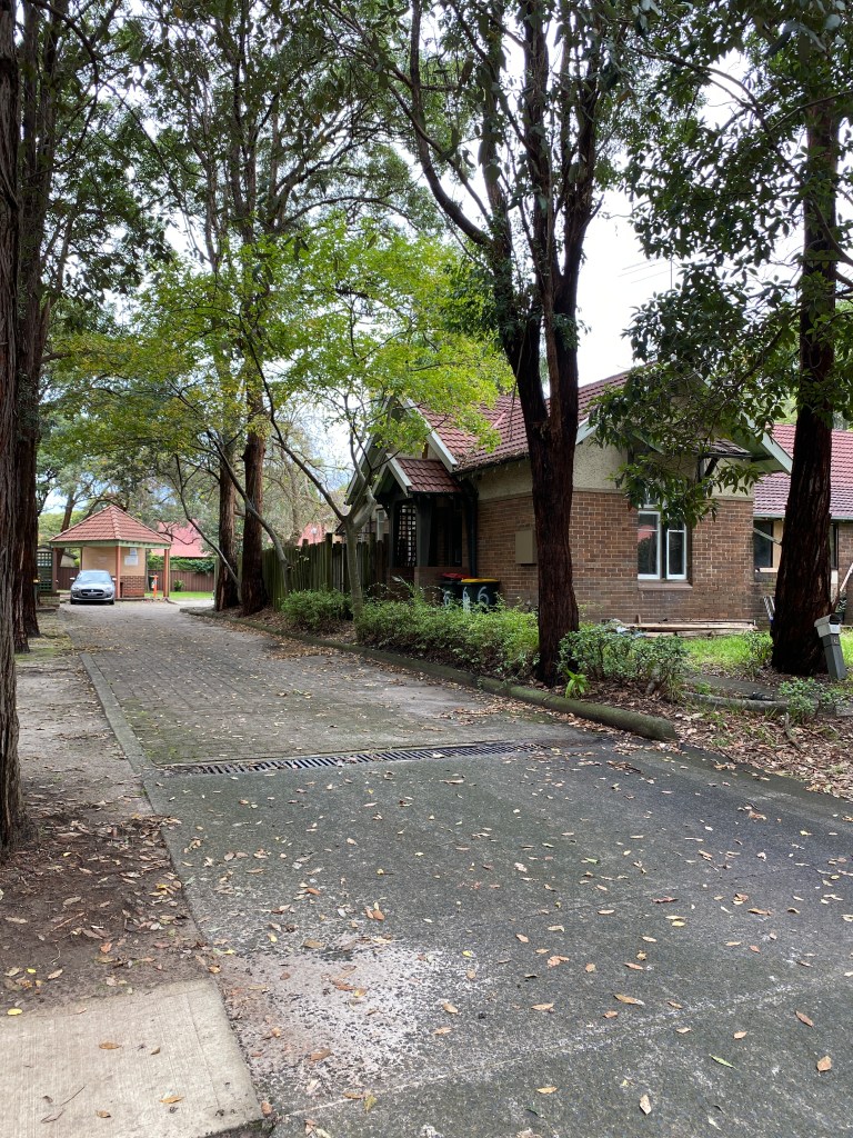
The greenery gets me thinking about changing approaches to public housing in Australia. Daceyville’s garden-city roots also echo the now infamous Radburn design of public housing schemes prevalent in the 70s and 80s. Houses all interlinked by shared green space, with ample yards front and back.
It’s a utopian ideal, but it’s also easy to see why it backfired. The dense tree cover and untended gardens gives many of these otherwise beautiful homes a dark, shadowy feel, and the same goes for the many laneways that veer off the streets into the inner blocks. The leafiness creates hidden spaces that I’d imagine feel the wrong kind of shady once the sun goes down.
I will note here though that I never once felt unsafe during my run through Daceyville. An important thing to mention, as these Sydney social housing communities are often sensationalised as crime-ridden ghettos in a way that completely glosses over their points of interest and historical significance – not to mention the perfectly decent, ordinary people who have lived in them peacefully for decades. There’s even what appears to be a convent here:
Back to the project at hand. Navigationally, it’s slightly harder than I imagined to tick off every street. Gardeners Road to the north and Astrolabe Park to the south provide a clear border but, between those, the slight curve of the streets somehow becomes a tad disorientating. The forested nature of the front yards also make it difficult to tell one house from another.
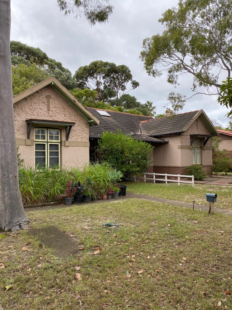
Many of the houses themselves also look similar, owing to their rapid government construction in the early 20th century. Some, like the ones on Gardeners Road, are terraced in a way that makes me think of the older accommodations on Rottnest Island.
A combination of these factors means that by the time I run back out onto Gardeners Road from Daceyville’s westernmost avenue, I’ve missed a sizeable chunk of the area. Something I only discover later when I look at the map – on which my route looks something like this:
The main oversight is Dacey Gardens – the park that sort of ‘welcomes’ you to Daceyville right at the Kingsford/Gardeners Road intersection. Ironically, if Daceyville has a defining landmark it’s probably this park, but I just jogged straight past it since I was coming from the other direction.
I’ve also missed several portions of the inner streets, mainly on the eastern side. This includes Australia’s very first cul-de-sac off Colonel Braund Crescent, which circles an inner park in the classic Radburn style. A shame to miss, especially since I unintentionally ended up running Astrolabe Road on the western side several times instead.
The result
Given the omission of several key roadways, the first attempt at Daceyville completion ends in failure.
I see this result as a validation of the project. A testament to the fact that going map-free is an art form. Something that exercises not just inbuilt geographical awareness, but also an awareness of the affect or emotional resonance of a particular area.
In the case of Daceyville it is something you follow between perennially dark old houses cloaked in shade. Something you can hear in the quiet. It is leaves underfoot and a BMX cast aside next to an old wooden balcony, weatherworn hessian all akimbo and no one in sight. Not a soul.

Leave a comment